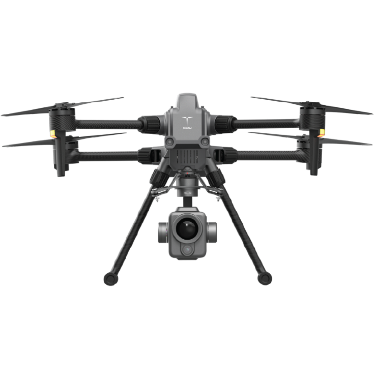
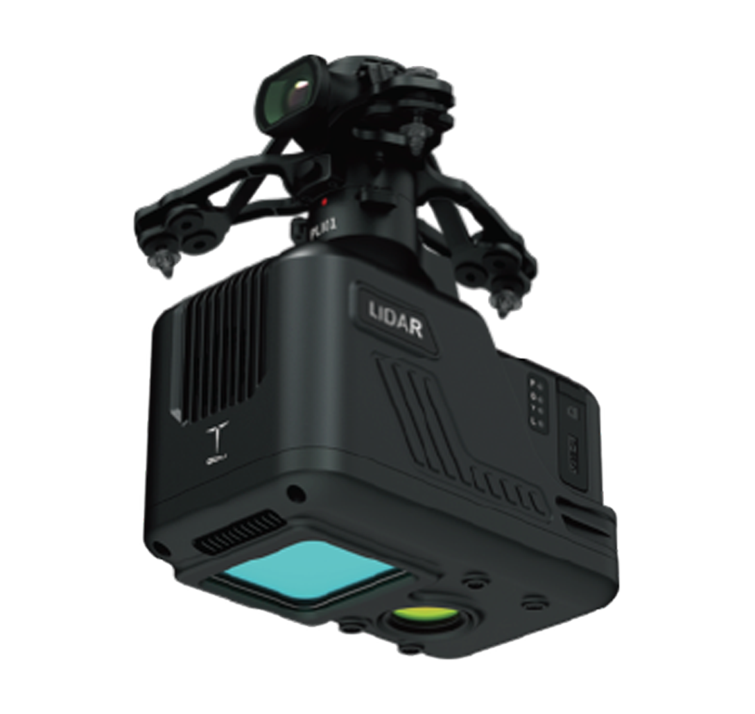
PLI01 LiDar

$0.00

PLI01 lidar integrates light and compact lidar systems, inertial navigation systems, control systems and high-resolution mapping cameras. It can efficiently collect high-precision point cloud data and rich image information, it is widely used in the acquisition of 3D space information in surveying and mapping, electric power, forestry, agriculture, land planning, geological disasters, and mine safety.

PLI01 lidar integrates light and compact lidar systems, inertial navigation systems, control systems and high-resolution mapping cameras. It can efficiently collect high-precision point cloud data and rich image information, it is widely used in the acquisition of 3D space information in surveying and mapping, electric power, forestry, agriculture, land planning, geological disasters, and mine safety.

  • Weight 1065g+5g

  • Dimensions 160mmx96mmx152.5

(exclude FV shock-abosorbing hanger)

  • LiDar detection range 190m@10% reflectivity

260m@20% reflectivity, 450m@80% reflectivity

  • LiDar ranging accuracy 3cm@100m

  • INS positioning accuracy Horizontal0.02m, elevation 0.03m

  • Camera resolution 26mega pixels

  • Point cloud positioning accuracy Horizontal: 10cm@50cm; Elevation: 5cm@50m