
 Image 1 of 2
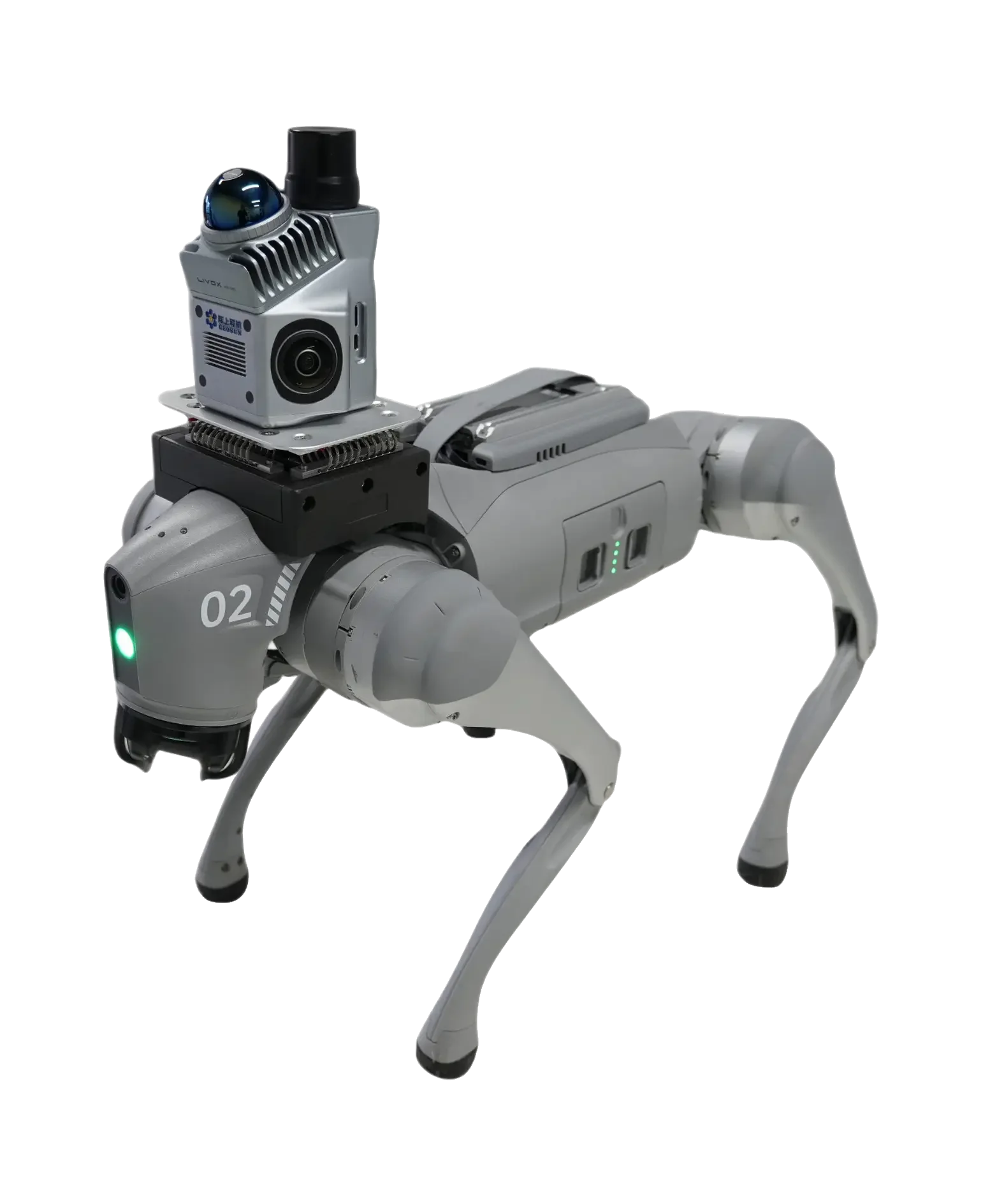 Image 2 of 2
UGV Integration Capability
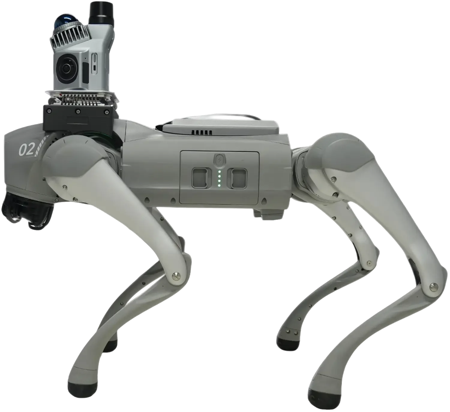
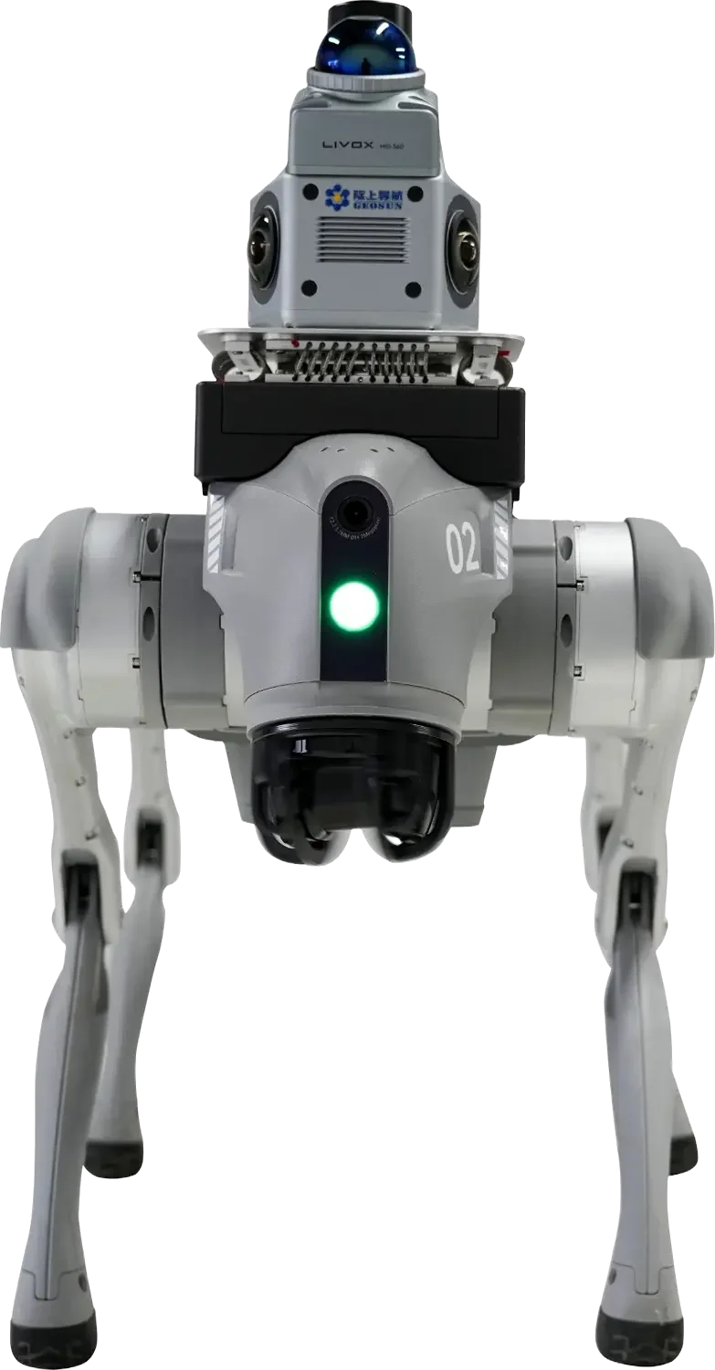
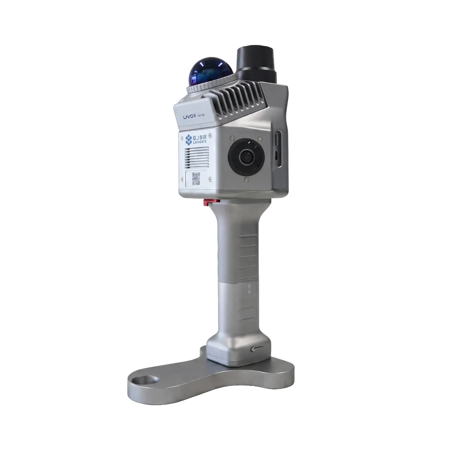
The optimal payload configuration for agile robotics. Constructed with a high-durability aluminum alloy body, the GS-200G achieves a critical net weight of exactly 1.0kg. This extreme weight reduction makes it the most efficient LiDAR payload for quadruped UGVs, minimizing battery drain, maximizing operational endurance, and ensuring zero disruption to the carrier's kinematic balance during complex maneuvers.
Technical Specifications:
Hardware Model: Geosun GS-200G
Core Sensor: Livox Mid 360
Operational Environment: Indoor & Outdoor Mapping
Housing Material: High-Strength Aluminum Alloy Body
Net Payload Weight: 1.0kg
Integration Status: Primary UGV Payload / Quadruped Optimized
TARGET SECTORS & APPLICATIONS



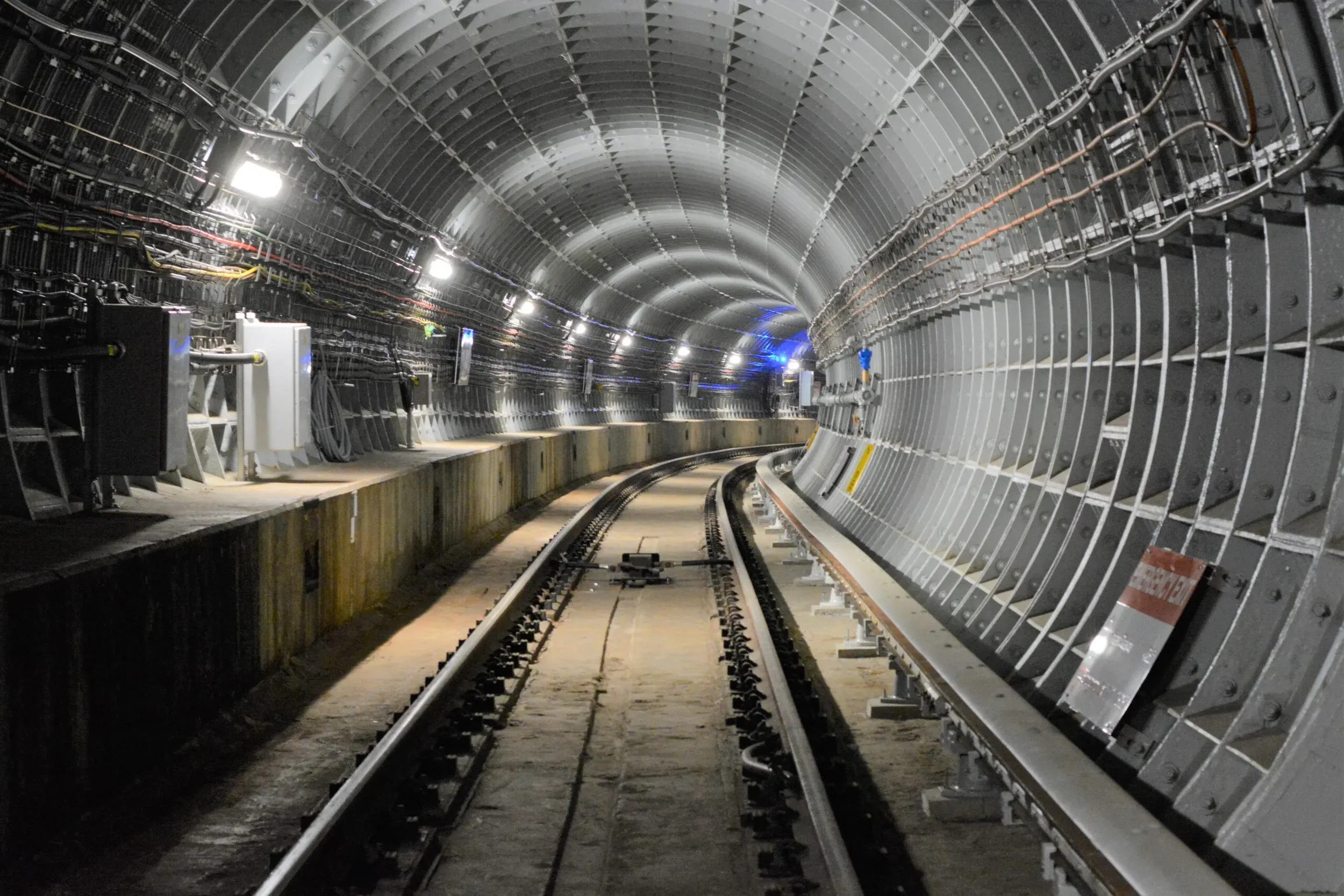
Subterranean & Mining Operations: Rapid 3D spatial mapping in underground tunnels, caves, and mining shafts where GNSS signals are completely denied.
Tactical Indoor Reconnaissance: Providing immediate spatial awareness and 3D floor plans for defense teams operating in unknown, hostile, or complex enclosed environments.
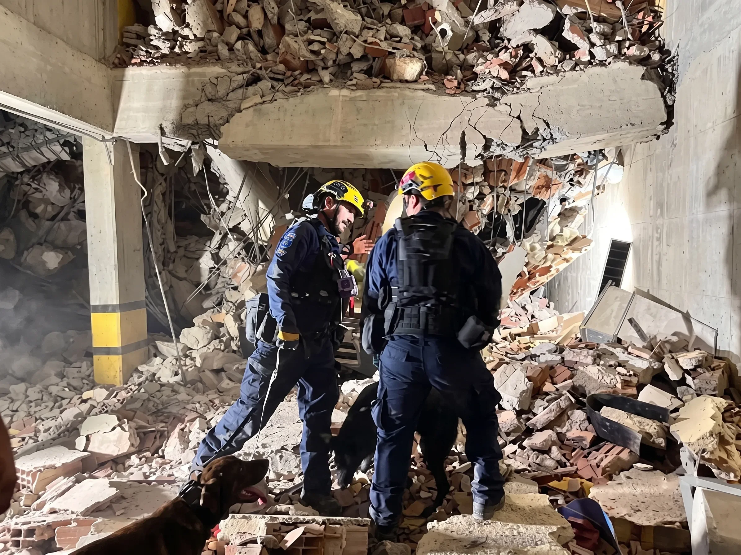
Urban Search & Rescue (USAR): Deployment via robotic carriers into collapsed structures and disaster zones to generate real-time point-cloud data of narrow ruins and confined spaces.
Industrial Infrastructure Inspection: Routine and emergency scanning of complex power plants, chemical refineries, and comprehensive pipe galleries to detect structural anomalies without exposing human personnel to risk.
Forestry & Canopy Mapping: High-fidelity outdoor data collection in dense environments where traditional GPS positioning is compromised.
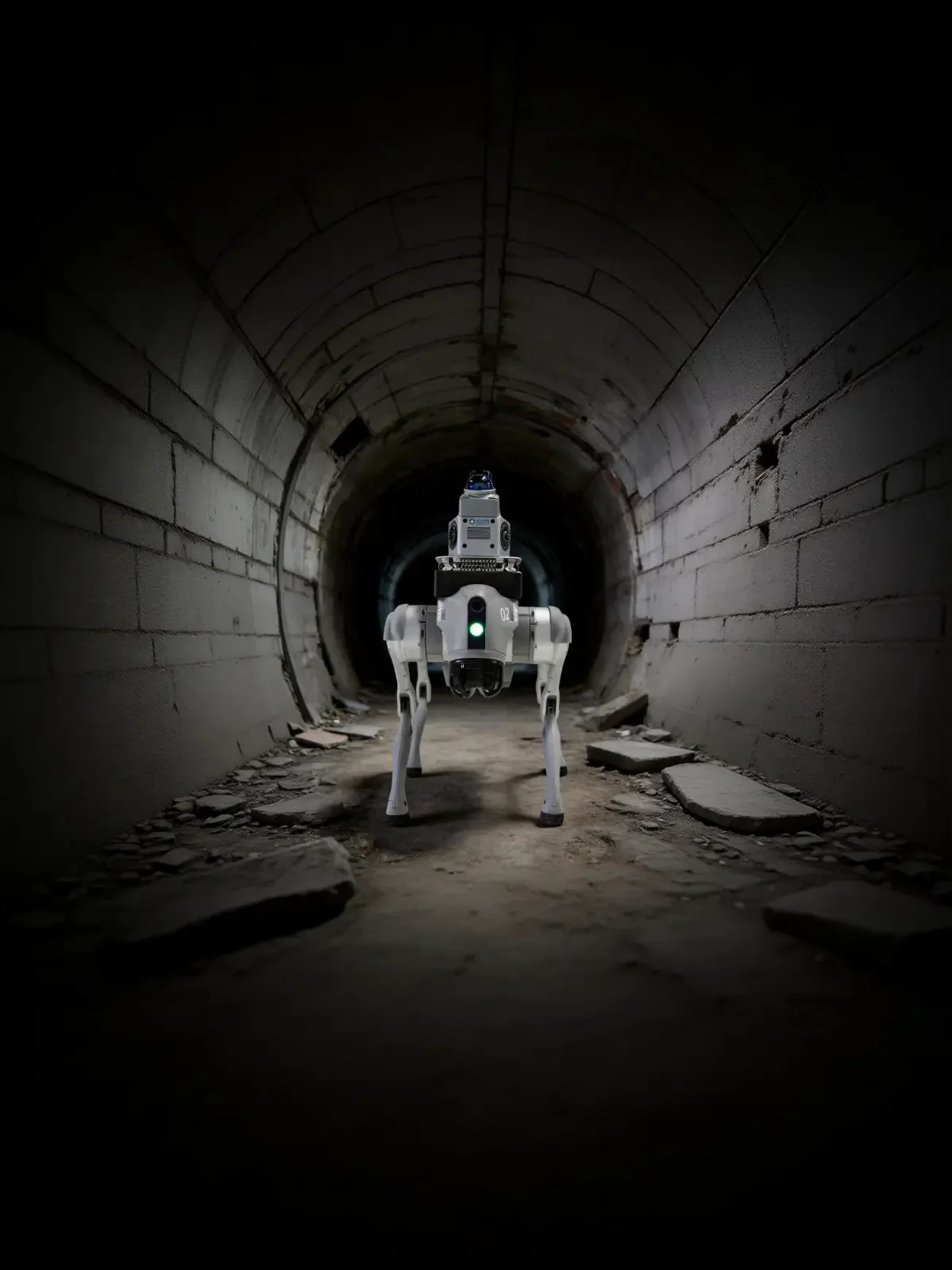
The LiDAR payload is integrated here with a third-party Quadruped UGV for tactical mobility.
