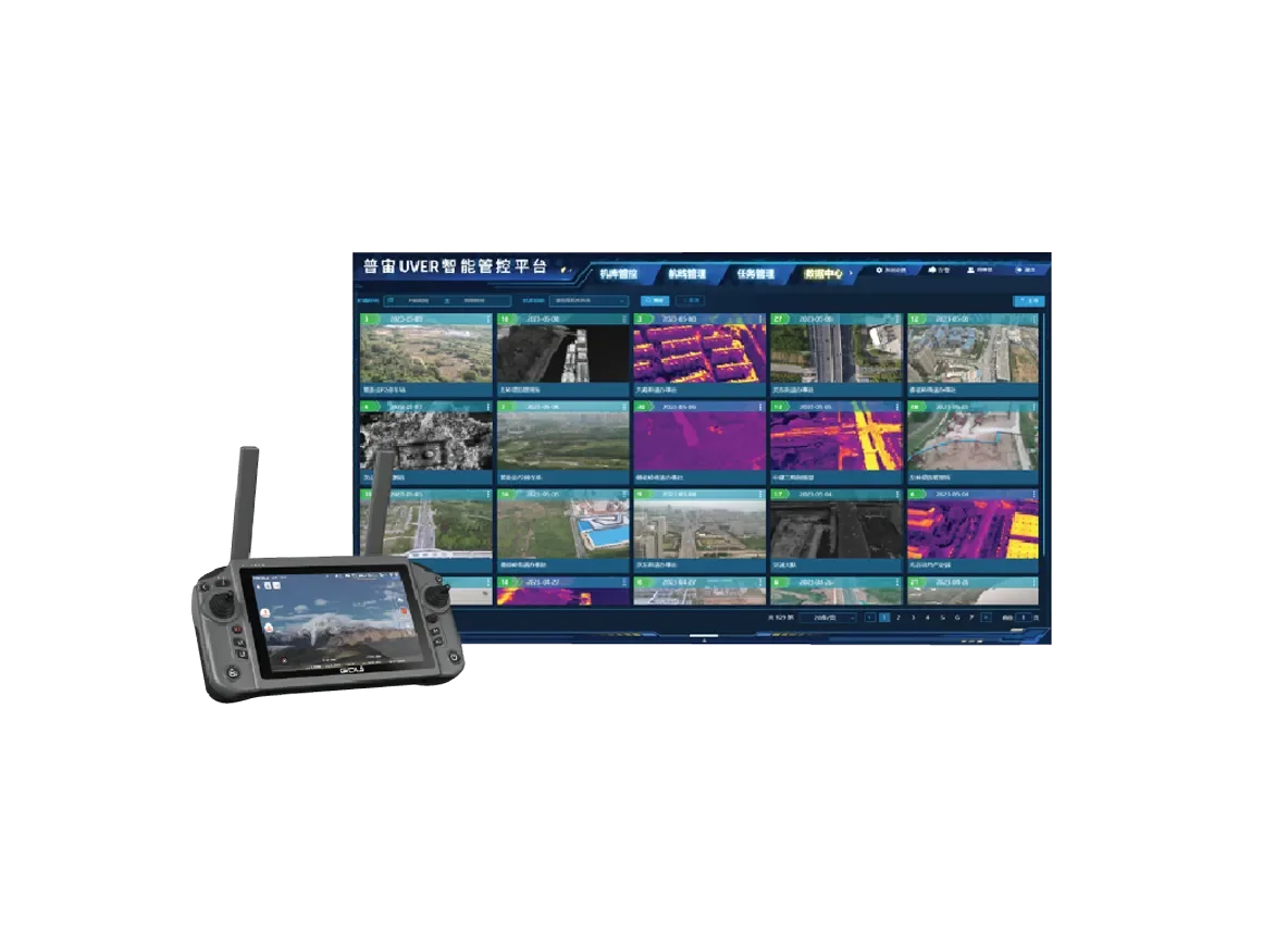
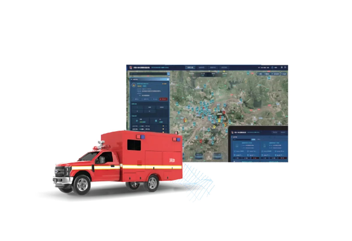
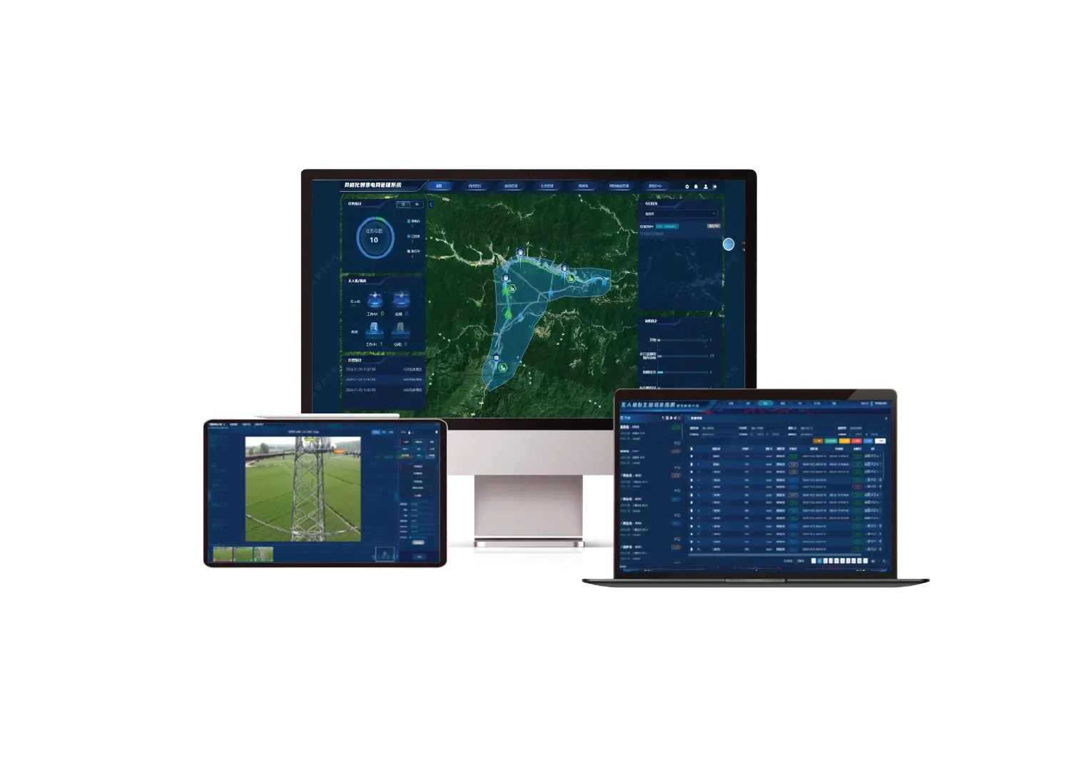
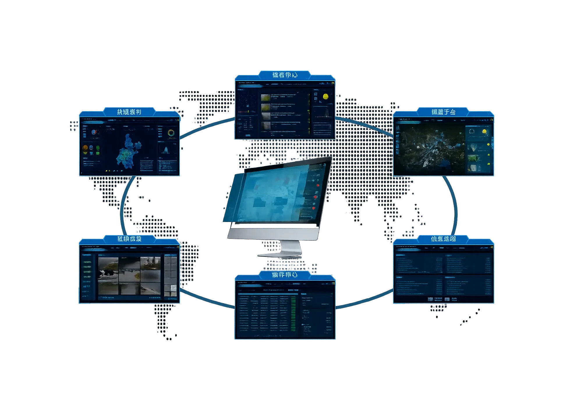
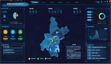
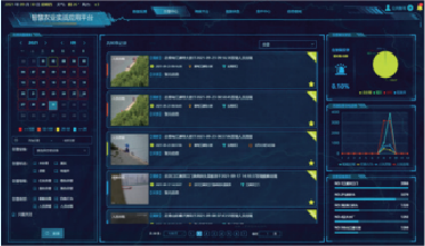
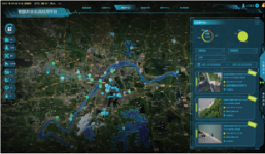
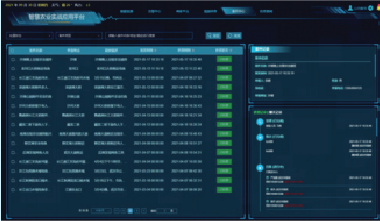
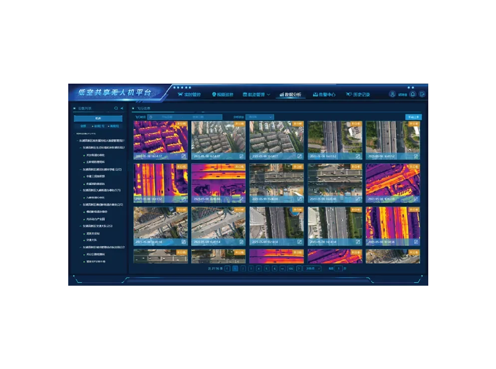
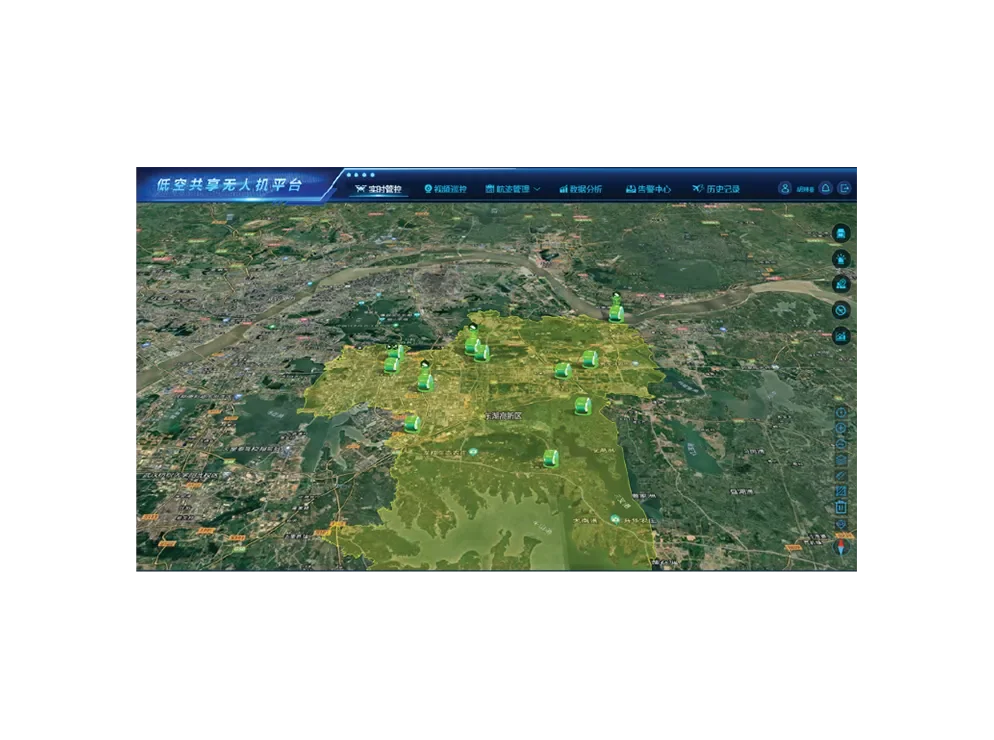
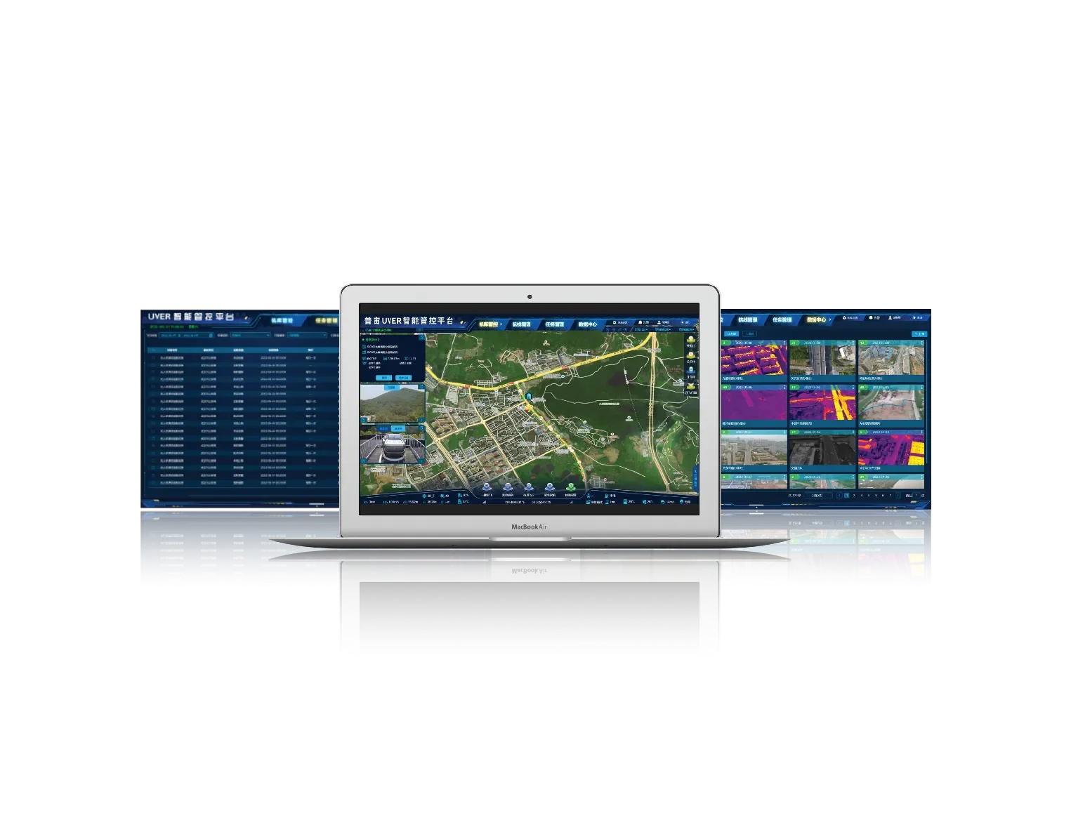
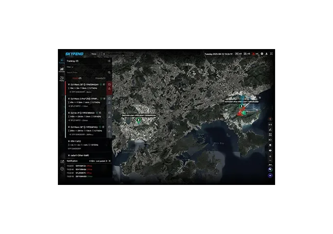
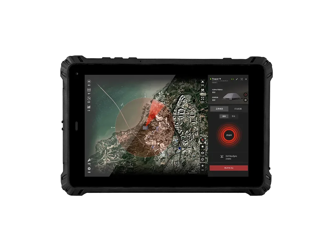
The fire rescue on-site command system software, through upgraded technology and optimized fire monitoring functions, offers intelligent analysis features such as fire point detection, personnel detection, and AR tagging, supporting display on a unified map.
On-site commanders can operate 2D maps and 3D models to carry out route planning, fire point marking, resource display, force deployment, and measurement analysis, improving the efficiency of on-site rescue command and empowering the optimization and upgrade of the smart city emergency fire management system.
Using dock as the access carrier, establishing hangar points, and utilizing the multi-control single-function of drones, it extends terminal access points on aggregation layer network nodes to meet the low-altitude, refined patrol requirements of key areas; combined with multi-network technology using dedicated private and public networks, it ensures target area inspection is accessible and refined inspection is feasible, cooperating with an efficient management and dispatch system to complete autonomous intelligent inspection operations.
This system centers on command and is based on geographic information systems, creating a simple, convenient, fast, and easy-to-use full-task, process-oriented handling system for grassroots levels, leveraging informatization to empower flexible command operations at the grassroots.
GDU low-altitude shared drone platform is built upon independently developed drones, smart payloads, and coordinated operations of docks. It integrates leading technologies such as big data, machine learning, IoT, and artificial intelligence, and combines operational requirements from multiple industries and fields. We are committed to building a low-altitude multi-dimensional data sensing ecosystem and a drone sharing platform. Through intelligent scene analysis and processing, we aim to achieve true integrated management of low-altitude resources in the sky and on the ground.
It uses the network as a medium to achieve remote interconnection between the command center and the airport and drones at the operation site. The command center can issue operational tasks to the airport and drones at the operation site anytime and anywhere. The airport and drones at the operation site can transmit real-time images from the scene, and after the tasks are completed, the results are automatically uploaded.
Integrated Air-Ground Command and Control Hub
Skyshield Nexus is an AI-powered integrated air-ground command and control hub that combines detection and early warning, intelligent decision-making, and coordinated interception.
Driven by AI-based multi-source data fusion, it supports connections to thousands of devices with second-level response times. The system enables multi-layered defense capabilities including electronic jamming, spoofing, laser interception, and drone countermeasures.
It features event traceability and compliant evidence collection, and is compatible with both Skyfend and third-party anti-drone devices. With web access and multi-terminal collaboration, it supports deployment via private servers or the cloud.
Designed for large-scale airspace defense, Skyshield Nexus delivers a unified, intelligent solution for multi-domain management.
Intelligent Control System for C-UAS
SkyShield Edge is a high-security, multi-platform anti-drone device control system designed for seamless coordination with Skyfend systems. It offers real-time situational awareness and in-depth data analysis, supporting device connectivity via LAN and serial ports.
It is available in two specialized terminal formats:
PAD Terminal (SGA100): Optimized for mobile and portable operations, it is lightweight, durable, and built to perform reliably in harsh environmental conditions.
PC Terminal (SGA110): Tailored for fixed-site monitoring, it supports 24/7 unattended operation for continuous, long-term protection.
No results match your search. Try removing a few filters.