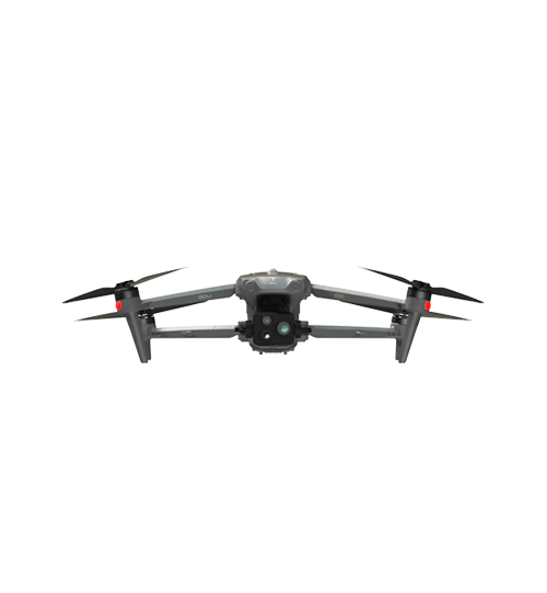
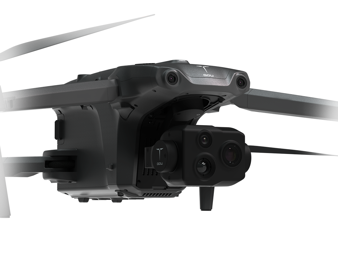
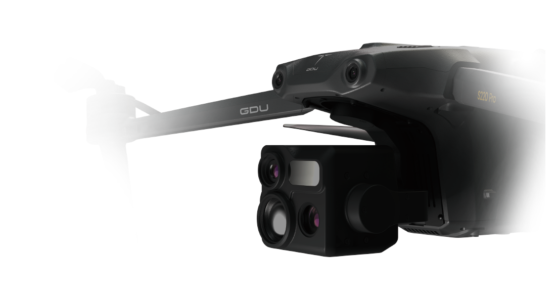
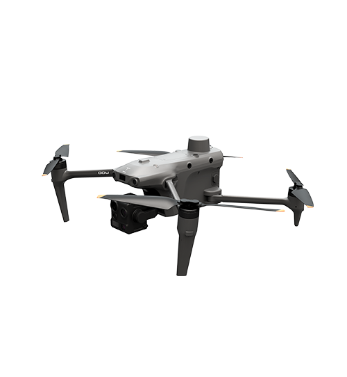
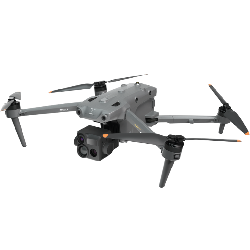
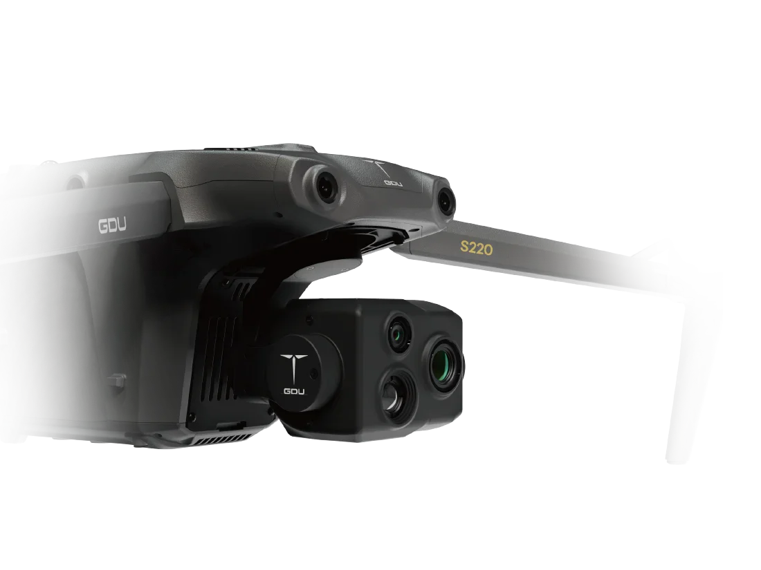
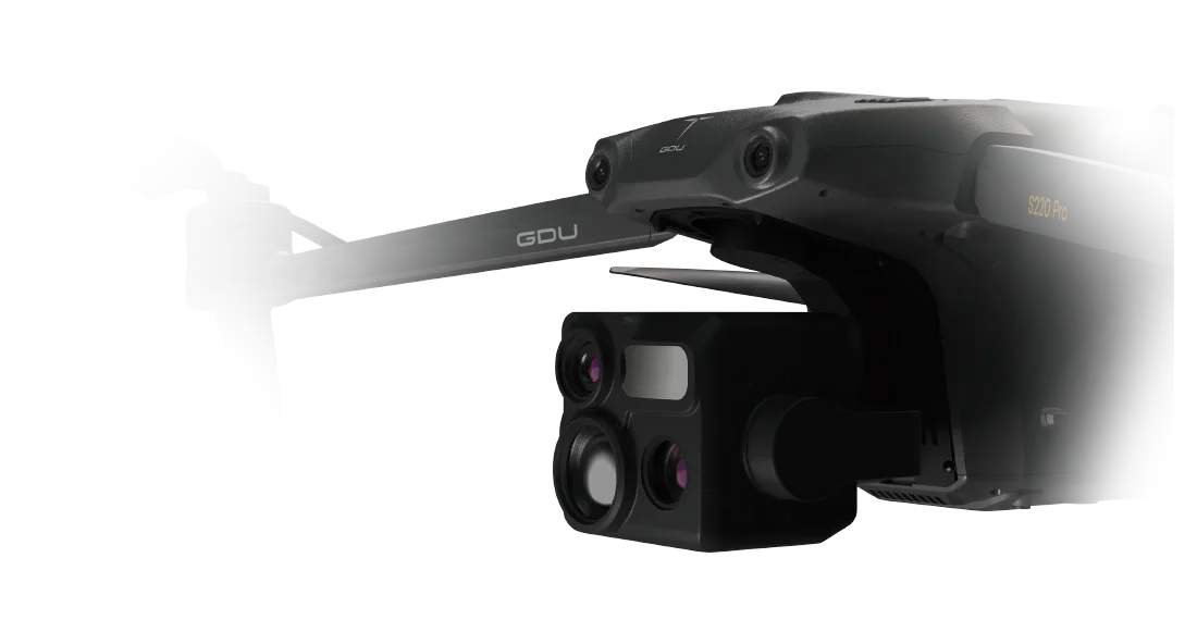
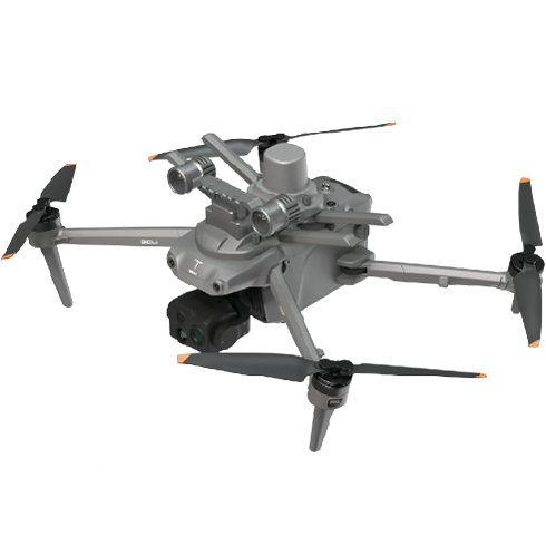
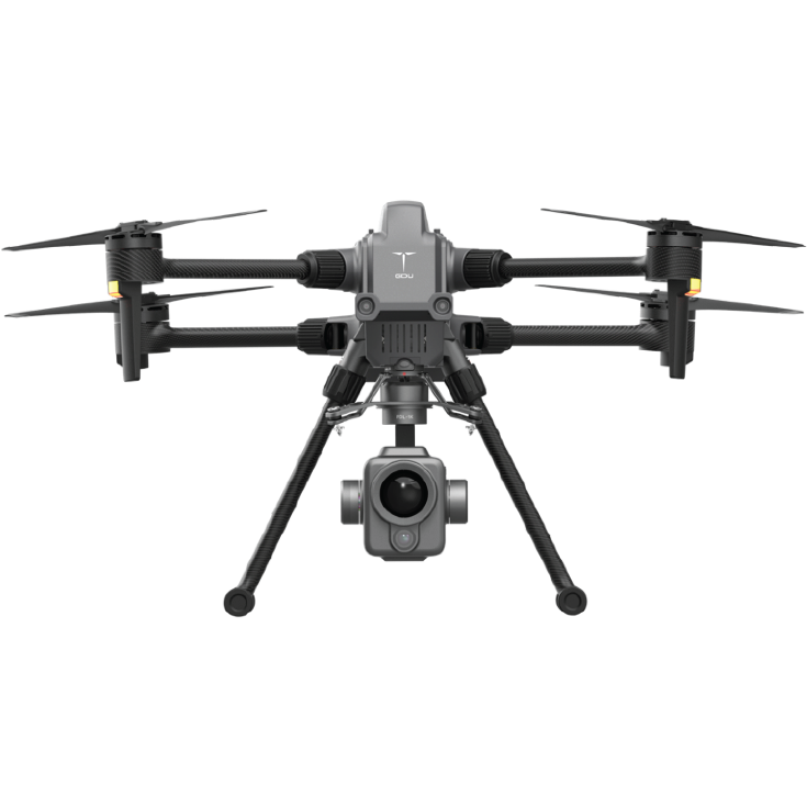
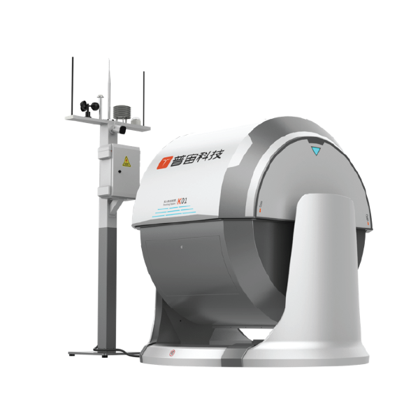
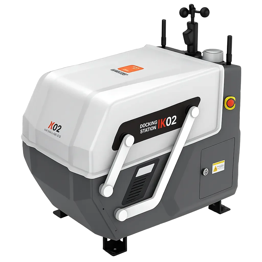
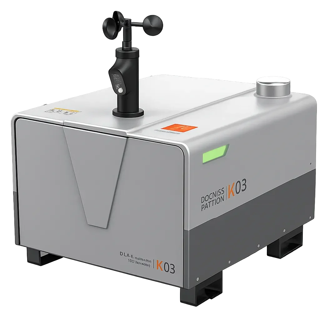
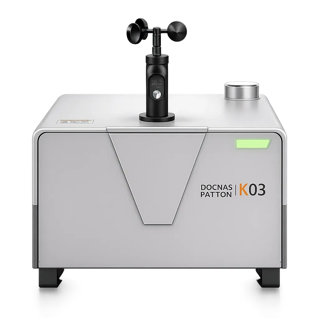
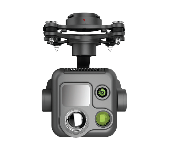
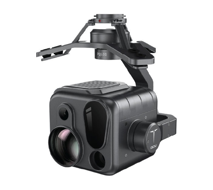
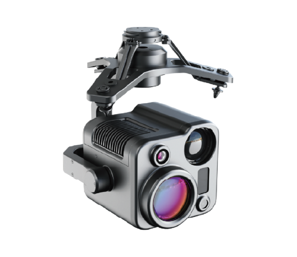
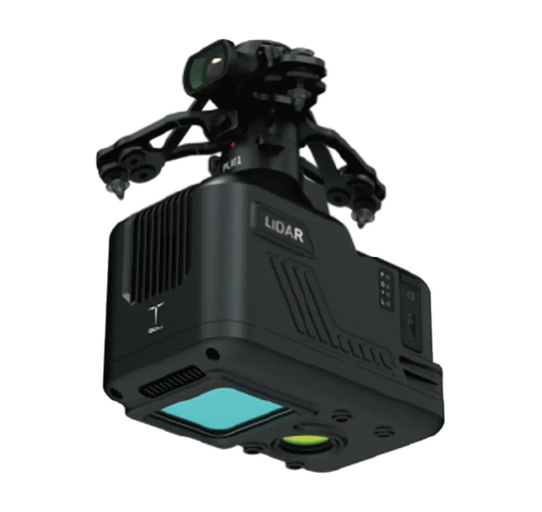
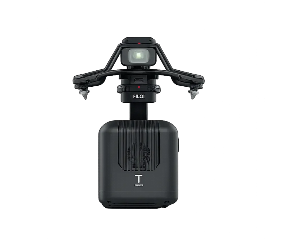
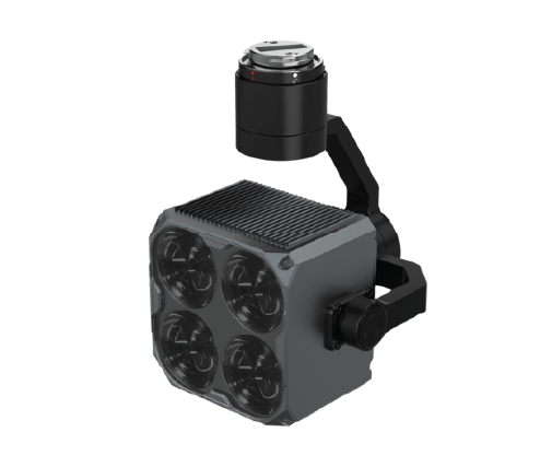
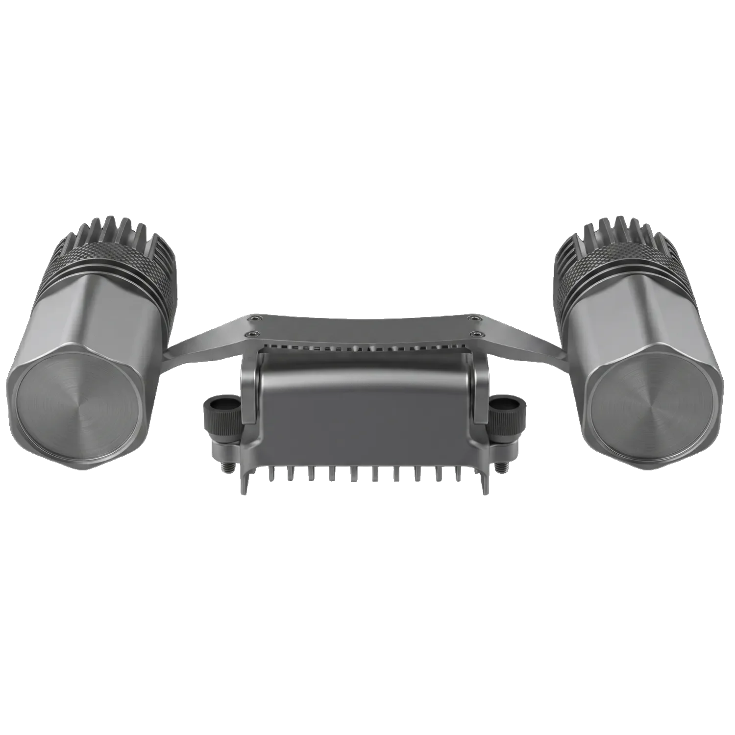
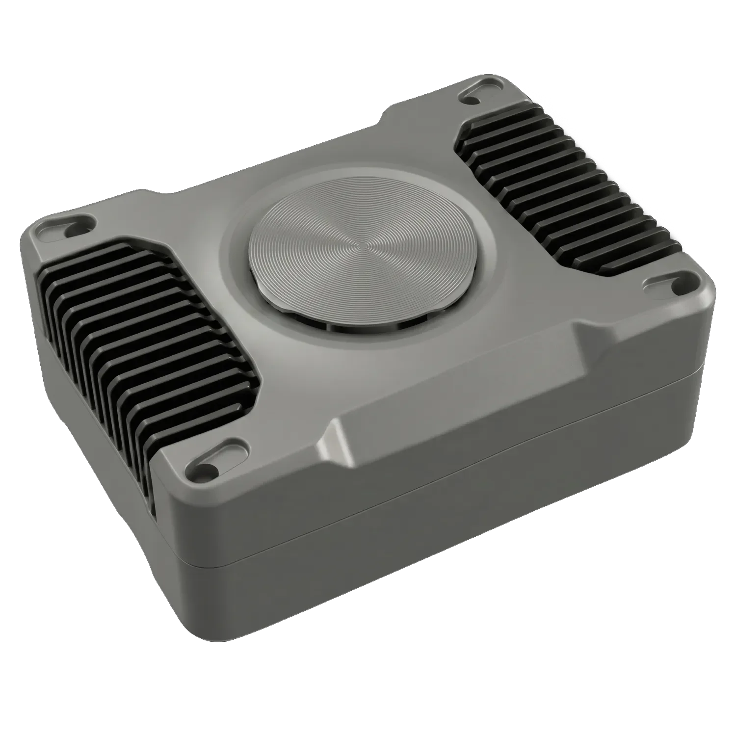
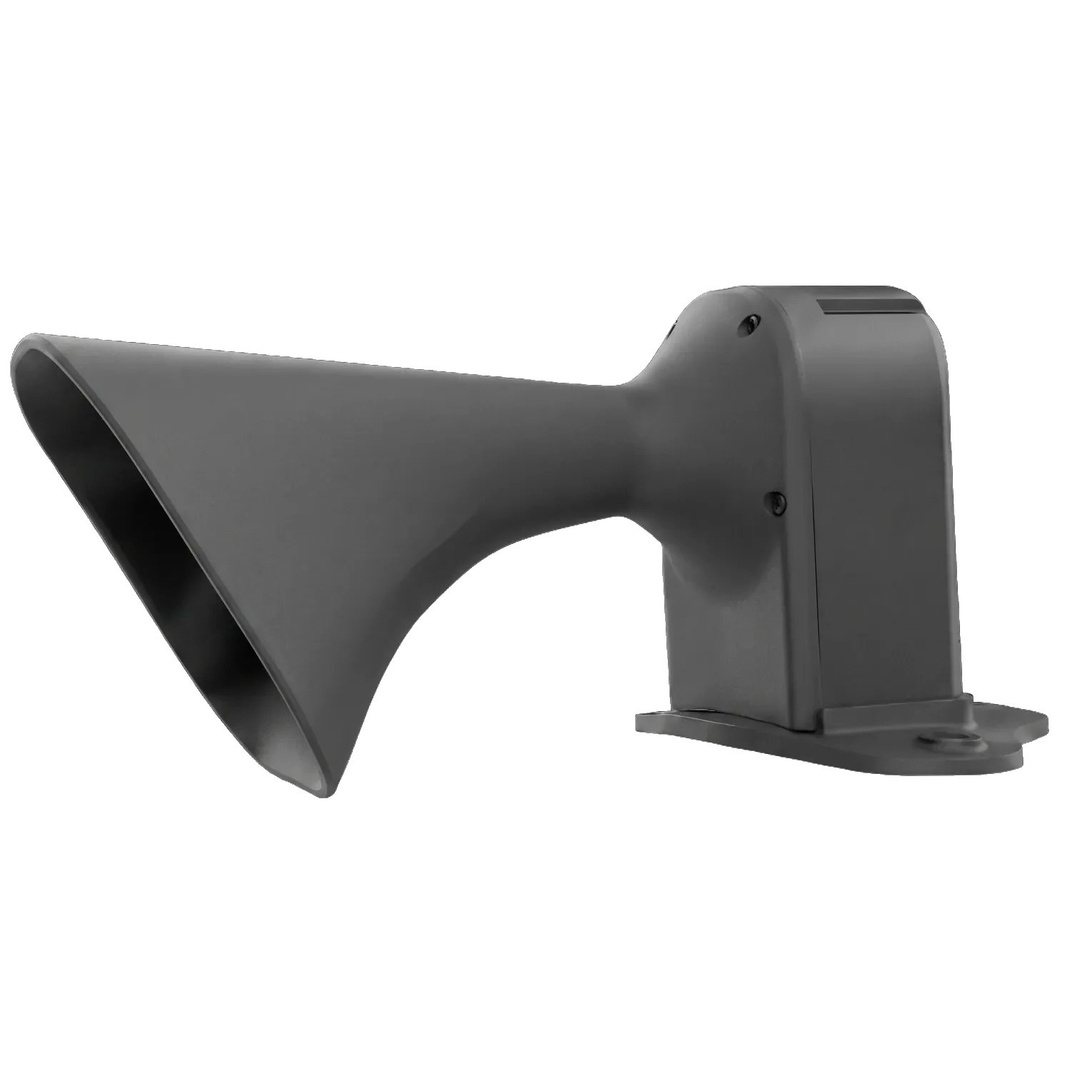
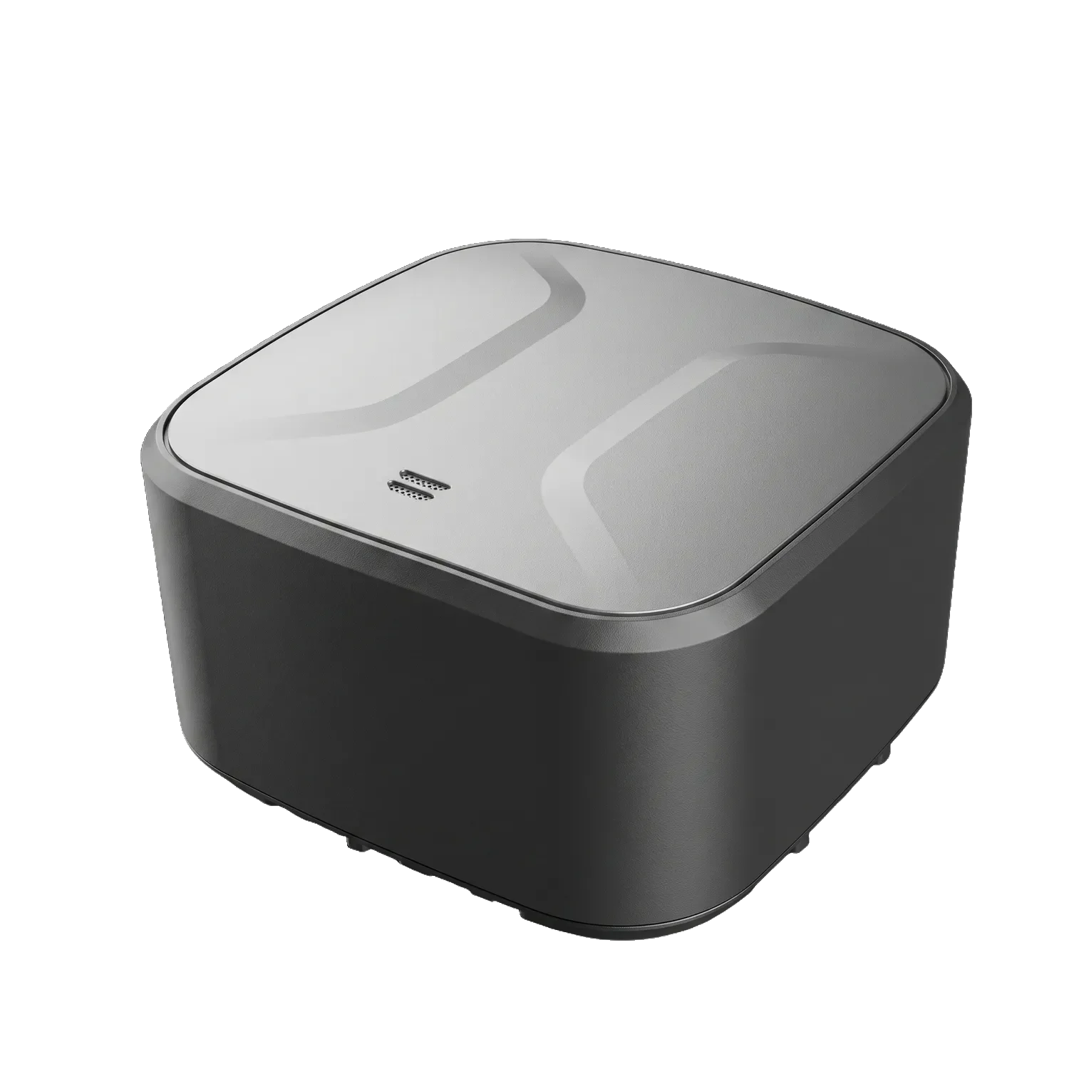
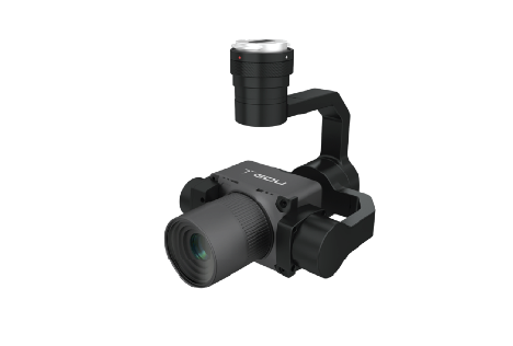
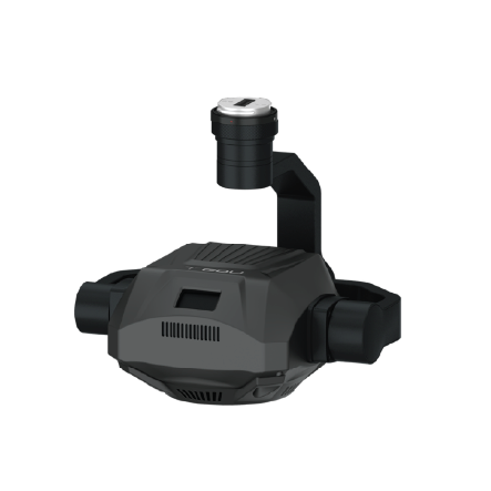
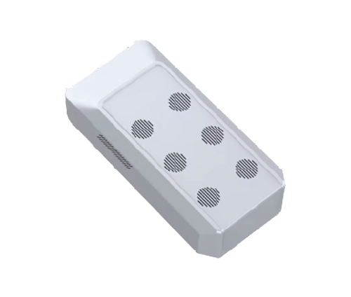
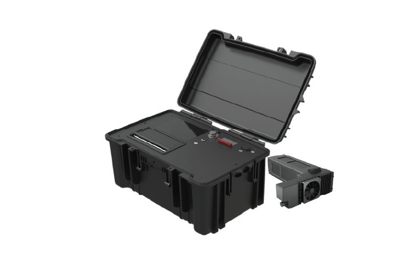
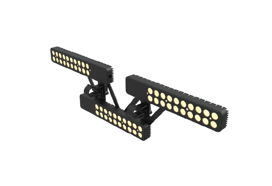
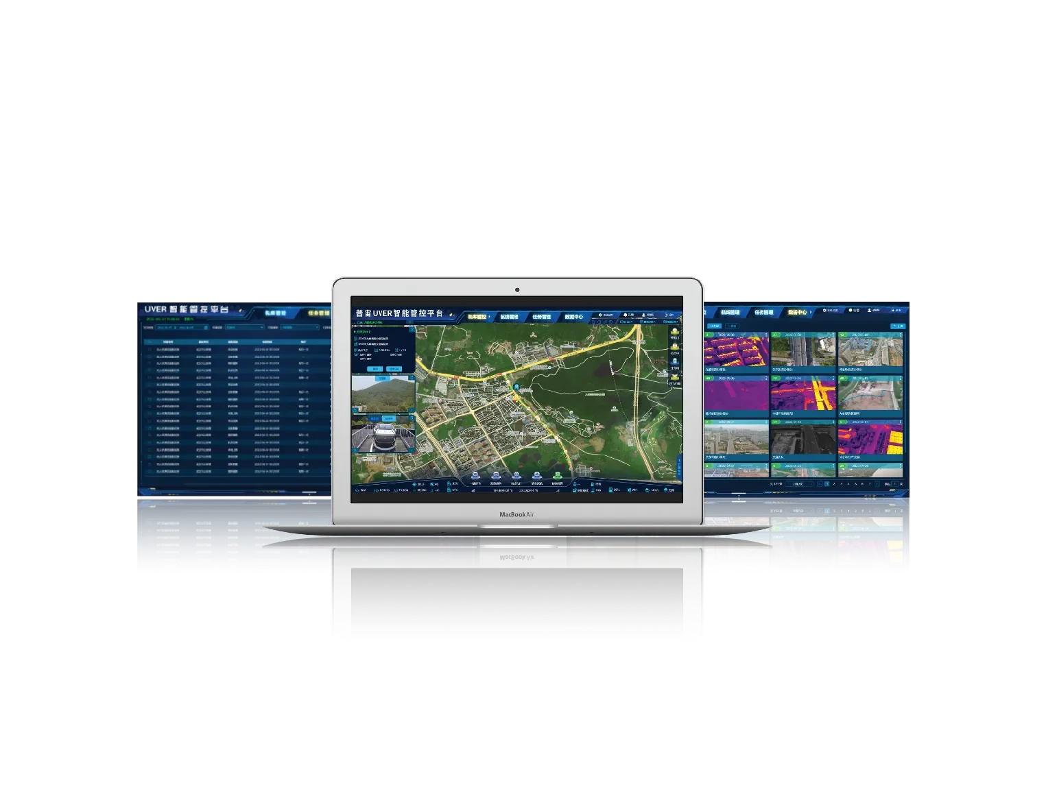
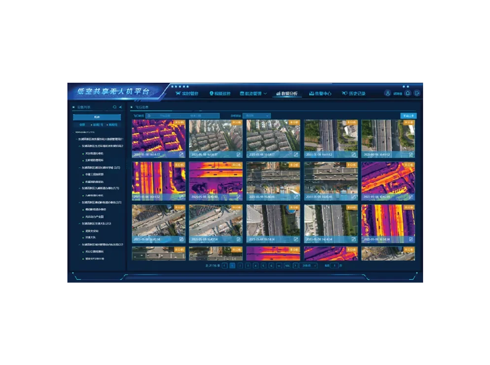
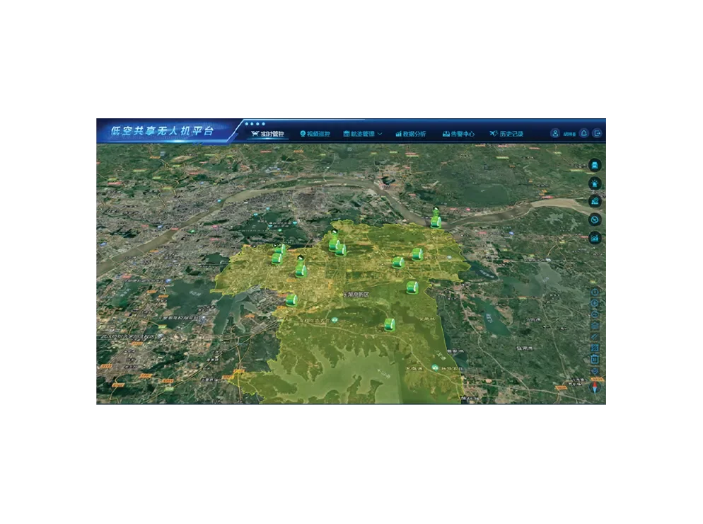
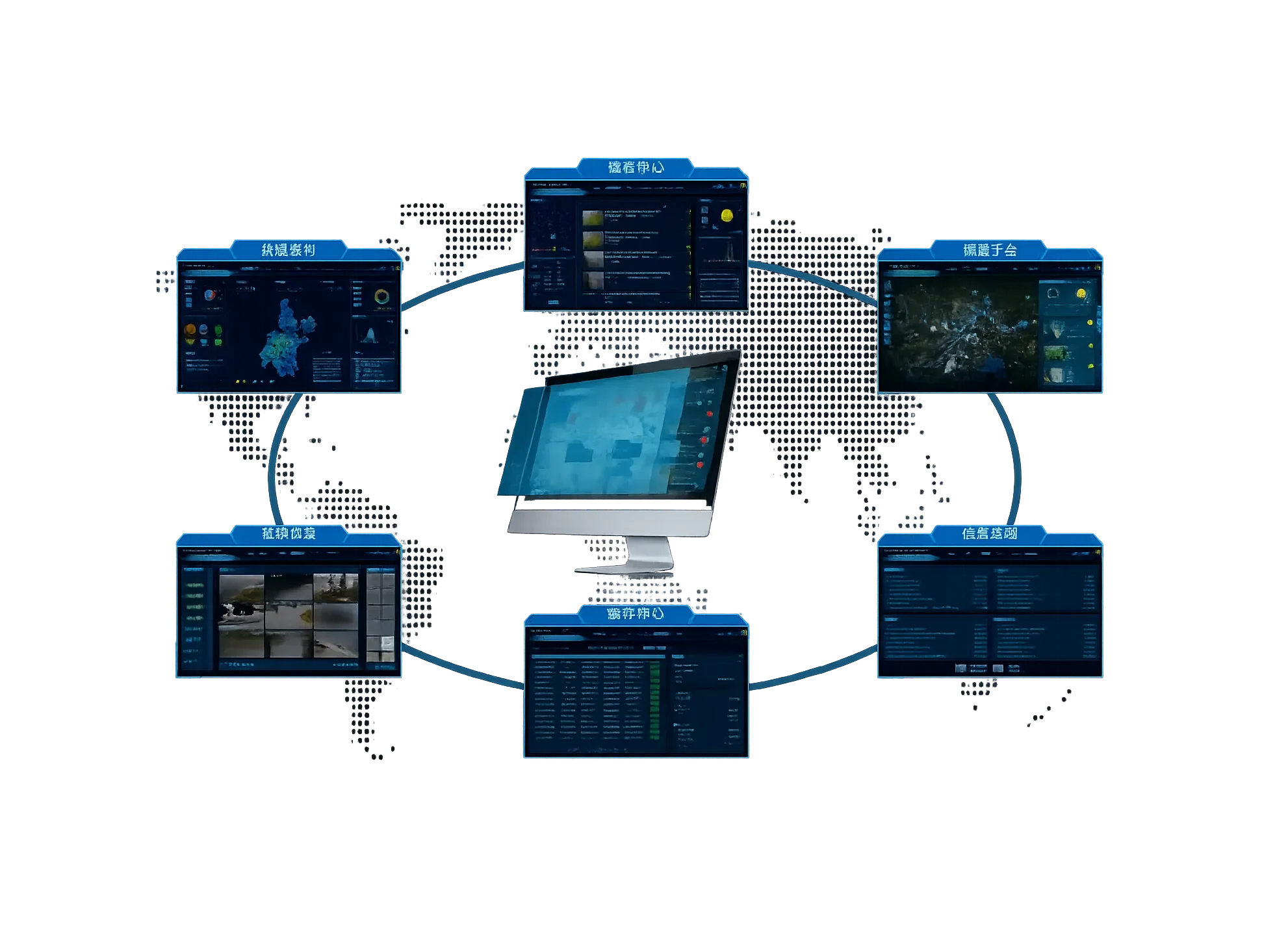
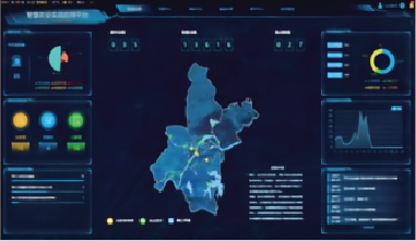
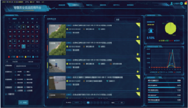
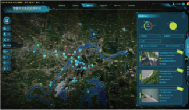
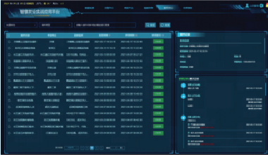
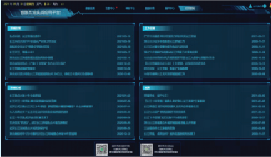
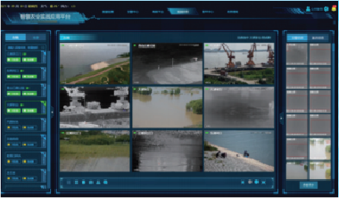
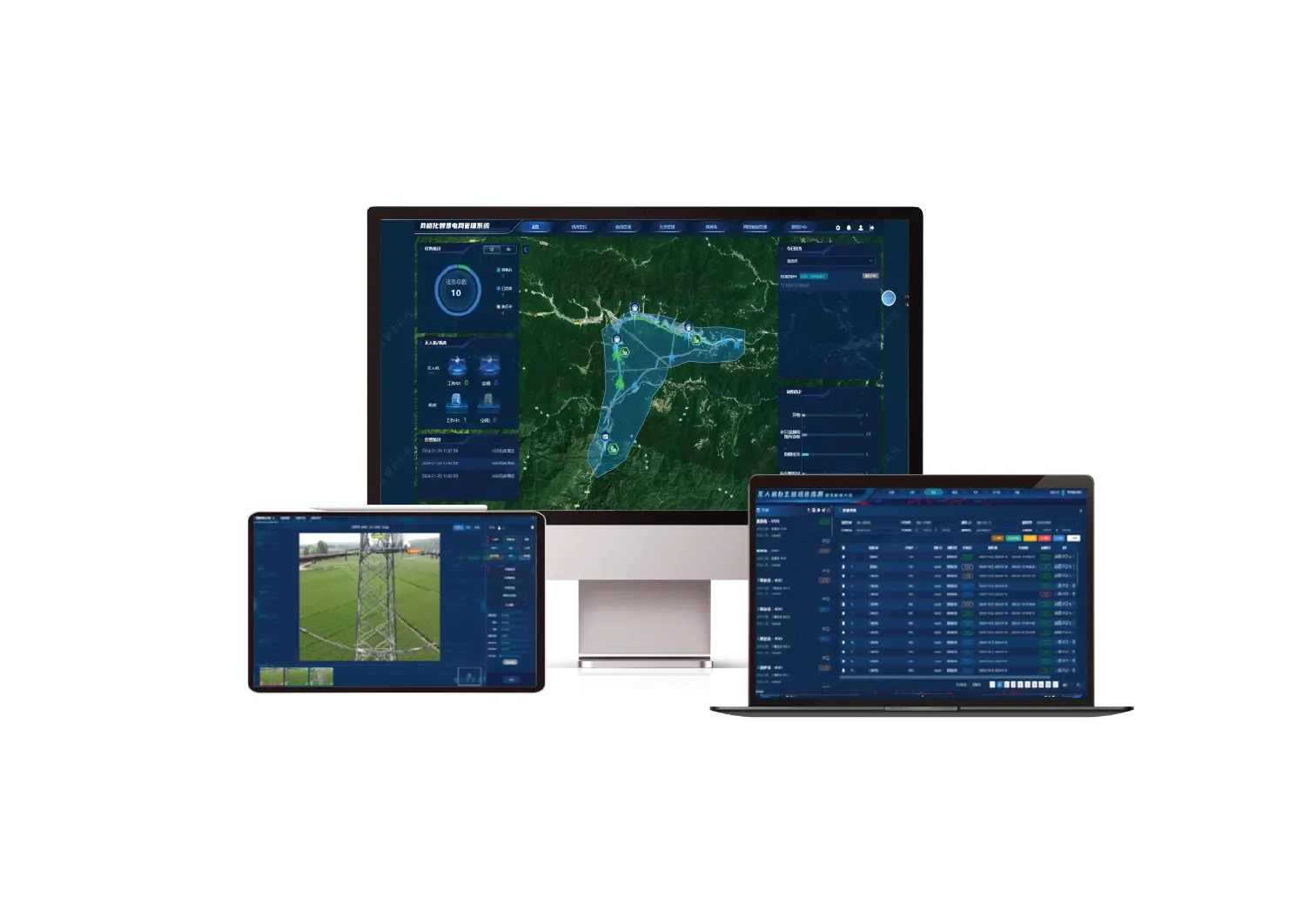
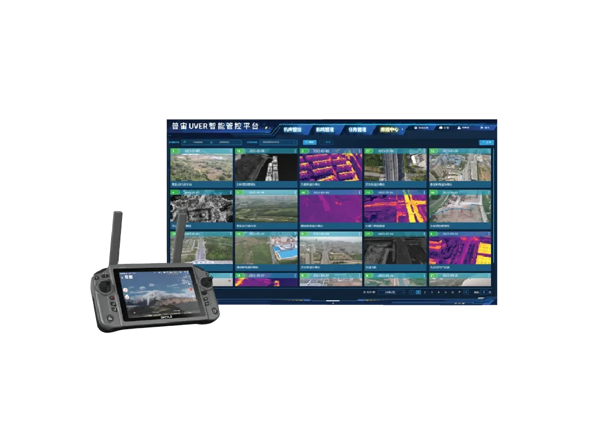
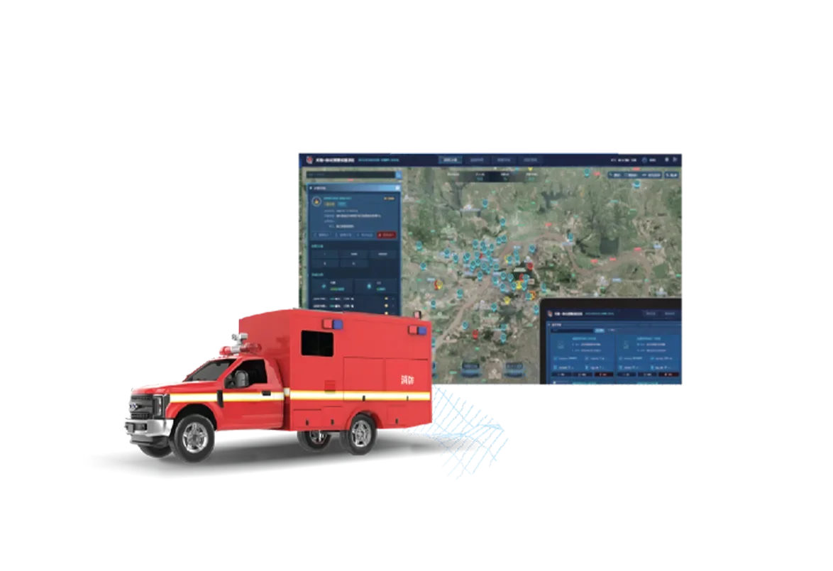
Industrial Flagship Enterprise Drone
The GDU P200 series represents a new standard in portable industrial UAVs, combining a compact, foldable design with high-end operational performance. Powered by an 8-core processor with 21T AI computing power, it enables advanced target recognition, intelligent analysis, and seamless cloud-based synchronization. With its lightweight frame and rapid deployment capabilities, the P200 series is built to handle complex missions across diverse industrial and security sectors.
High-Efficiency Multi-Mission Enterprise Drone
The UAV-P300 is a cutting-edge enterprise drone designed to deliver unparalleled efficiency and clarity in low-altitude operations. It features a 50MP UHD wide-angle sensor, 4K AI-powered full-color night vision, and advanced optical de-fogging technology, ensuring crystal-clear imagery across all weather conditions. With 21T of onboard computing power and a versatile multi-payload interface, the P300 can be tailored for complex, multi-task scenarios including emergency firefighting, smart city operations, and power grid inspections.
The powerful power system design, more comprehensive industry application load, ultra-long battery life; equipped with the industry's leading
octa-core chip, total computing power of 21T, with powerful visual intelligence AI recognition ability, can achieve cloud-edge-end collaborative
work; streamlined body design, compact and portable, with powerful performance.
The S400E is a lightweight industrial-grade flagship UAV from GDU, designed with groundbreaking advancements in stability, autonomy, and intelligence. Equipped with industry-leading BVLOS (Beyond Visual Line of Sight) networking technology, it enables seamless, intelligent interconnection between
With a frame crafted from high-strength magnesium alloy, its foldable body ensures exceptional safety, stability, and portability. Advanced millimeterwaveradar combined with an integrated binocular sensing system provides comprehensive, omnidirectional obstacle avoidance. The onboard AI edge computing
- Cross-obstacle Communication via Multi-UAV Relay Networking
- Millimeter-wave Sensing for Enhanced Obstacle Avoidance, Both Day and Night
- 49mins Max Flight Time
- 1K Thermal Camera
- 3kg Loading
- Professional-grade Performance in a Compact and Backpack-Friendly Design
The K01 un automatic dock integrates functions such as unmanned operation, automatic take-off and landing, automatic charging, autonomous patrol flight, and intelligent data recognition. It features an integrated design with the S400E professional-grade UAV. Its "two major highlights" are a rolling shutter door, fearless of wind, snow, freezing rain, and the accumulation of falling objects. When used with the S400E UAV and its series of payloads, the UVER intelligent management and control platform, and the low-altitude shared UAV platform, it subverts the traditional pilot operation mode, strongly empowers the new low-altitude infrastructure, and opens a new era of "unmanned operation" for more industries!
- Integrated design with S400E professional-grade drones
- Roll-over cabin cover, unafraid of wind, snow, freezing rain, and accumulation of falling objects
Compact Automatic Battery Swapping Docking Station
The K02 UAV Automatic Docking Station is a high-performance, compact, and autonomous battery swapping docking station designed for the S200 series UAVs.
Lightweight and easy to deploy, it can accommodate up to 4 sets of batteries, ensuring continuous operation without interruptions. In addition, it supports night precision landing and seamless day and night operations, making it ideal for smart cities, energy inspections, emergency firefighting, and ecological protection scenarios.
- Four-Battery Swapping
- 1K Thermal Camera
- 1 ㎡ Space Deployment
- 45min per flight
Light-weight Auto Charging Docking Station
It weighs only 50kg, covers an area of 0.36m, and has a standby power consumption of less than 10W. Its small size, light weight, and low power consumption, combined with solar power, enable operation in environments without mains power, such as power towers and network-disconnected scenarios. It supports access to 4G and MESH modules, and in wireless environments, it can connect to the nearest network node.
Weight < 50kg
Floor Space < 0.36 ㎡
Charging Time(10%-90%) <35min
Ingress Protection Rating IP55
Sky-hawak Drone System
The Sky Hawk vehicle-mounted drone system is an integrated, intelligent mobile deployment platform for drones. It consists of five components: the vehicle-mounted drone, the K05 series detachable vehicle-mounted hangar, the remote controller, ecological payloads, and a mobile app. It enables the full workflow of drone flight operations, storage and charging, live streaming, and result sharing, seamlessly connecting consumer entertainment with industry application scenarios. It meets users' comprehensive needs, from personal use to professional tasks. By combining vehicle mobility with the drone's efficient operational capabilities, it offers users the joy of "ready to fly upon parking, travel with the vehicle," and a flying experience of "double the efficiency, extended range."
- Boundless View, Intelligent Fun on the Go
- Ultra-Clear Dual Camera: See Everything at a Glance
- All Vehicle ModelsSupported
- Quick Assembly & Disassembly-Ready to Go
It features a 61-megapixel full-frame image sensor, a 40mm dedicated mapping lens, and a three-axis intelligent stabilization gimbal. Widely used in close-range photogrammetry to create high-quality detailed models. It can be applied in various fields such as terrain mapping, emergency mapping, natural resource surveys, and geological disaster investigations.
It adopts a mature optical module with a total of 125 million pixels, which can retain rich 3D details and accurately reflect the real-world conditions. It supports synchronized exposure of multiple cameras and allows independent POS data to be written into the photos. The remote control interface allows real-time monitoring of the shooting situation, it also has built-in fast storage with a capacity of 1280G
PLI01 lidar integrates light and compact lidar systems, inertial navigation systems, control systems and high-resolution mapping cameras. It can efficiently collect high-precision point cloud data and rich image information, it is widely used in the acquisition of 3D space information in surveying and mapping, electric power, forestry, agriculture, land planning, geological disasters, and mine safety.
Dimensions 180*84*44mm
Weight 400g
Power voltage 5V
Power 2A
Positioning accuracy Horizontal ±2.5cm, Vertical +2.5cm
Charging indicator Red and blue dual-color indicator
light light
Working indicator light Green
Work/Storage temp -20°C~60°C
Detectable PM2.5, PM10, SO2, CO,
components NO2,03, VOCS
It is specially designed for drone operation at night. It is composed of optical imaging components with 4 sets of 4 lenses.It weighs only 750g and is smart and easy to use.
It is highly suitable for the GDU UAV platform. It is composed of airborne end module and ground end tethered power supply box. It can be directly connected to the generator or 220V mains, and can transmit power through customized high-voltage cables to continuously supply power to the drone.
It uses the network as a medium to achieve remote interconnection between the command center and the airport and drones at the operation site. The command center can issue operational tasks to the airport and drones at the operation site anytime and anywhere. The airport and drones at the operation site can transmit real-time images from the scene, and after the tasks are completed, the results are automatically uploaded.
GDU low-altitude shared drone platform is built upon independently developed drones, smart payloads, and coordinated operations of docks. It integrates leading technologies such as big data, machine learning, IoT, and artificial intelligence, and combines operational requirements from multiple industries and fields. We are committed to building a low-altitude multi-dimensional data sensing ecosystem and a drone sharing platform. Through intelligent scene analysis and processing, we aim to achieve true integrated management of low-altitude resources in the sky and on the ground.
This system centers on command and is based on geographic information systems, creating a simple, convenient, fast, and easy-to-use full-task, process-oriented handling system for grassroots levels, leveraging informatization to empower flexible command operations at the grassroots.
Using dock as the access carrier, establishing hangar points, and utilizing the multi-control single-function of drones, it extends terminal access points on aggregation layer network nodes to meet the low-altitude, refined patrol requirements of key areas; combined with multi-network technology using dedicated private and public networks, it ensures target area inspection is accessible and refined inspection is feasible, cooperating with an efficient management and dispatch system to complete autonomous intelligent inspection operations.
The fire rescue on-site command system software, through upgraded technology and optimized fire monitoring functions, offers intelligent analysis features such as fire point detection, personnel detection, and AR tagging, supporting display on a unified map.
On-site commanders can operate 2D maps and 3D models to carry out route planning, fire point marking, resource display, force deployment, and measurement analysis, improving the efficiency of on-site rescue command and empowering the optimization and upgrade of the smart city emergency fire management system.
No results match your search. Try removing a few filters.